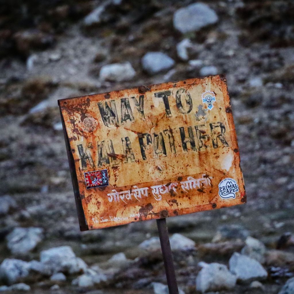
Personally, I mean. Kala Patthar isn’t exactly a peak, but it is really high.
Yesterday, we’d discussed switching our Base Camp day and our Kala Patthar day so that we could see the high viewpoint in the afternoon, with the sun shining full on the mountains, but the weather opted not to cooperate.
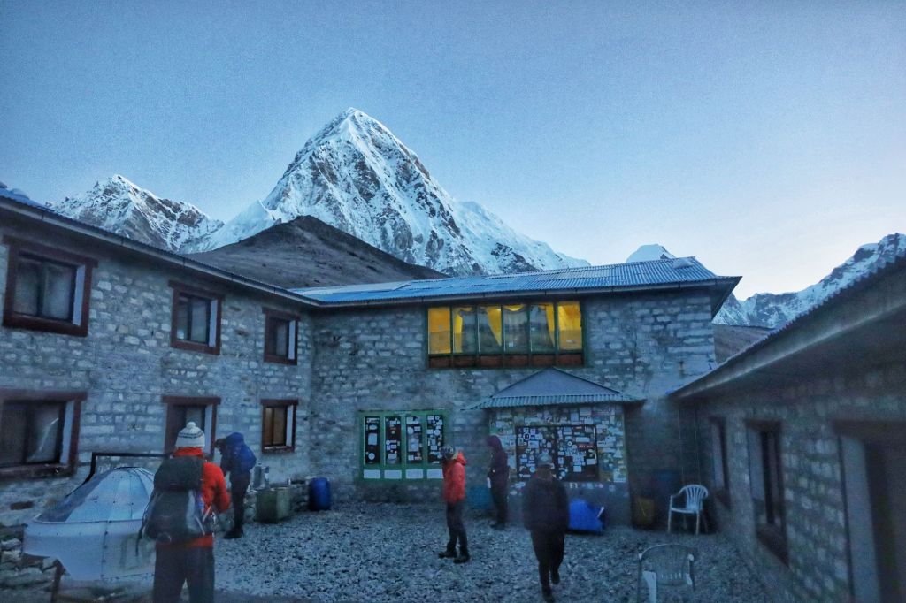
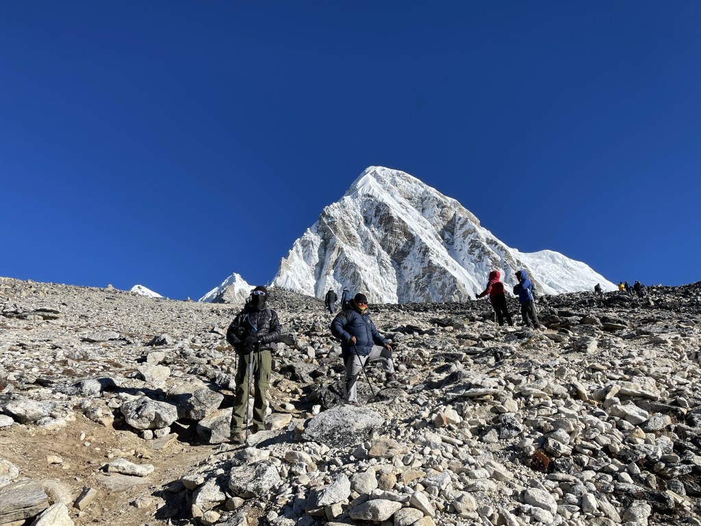
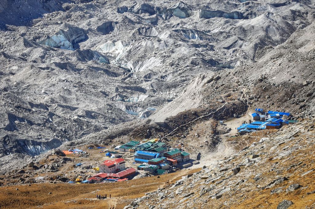
The unfortunate result is that we had to haul our sad, tired hineys out of our warm sleeping bags in the moldy room in the nasty guest house in Gorak Shep at 5am today to start the trek up to Kala Patthar.
Everyone else in the guest house had started at 4am. It turns out that’s the hill Dustin and I are willing to die on: no dark-of-night treks for these exhausted bodies.
5am was plenty early enough, even if it meant not seeing the sun rise from the highest point we’ll reach on this trip. Who even cares? The sun rises behind Everest and blinds you so you can’t even enjoy it.
(Hmm. Is it possible I’m a little crabby today? It’s possible. I’m writing this at the end of the third day in a row when we’ve accomplished nearly superhuman feats of trekking and I am tired.)
Anyway. We went into this hiking knowing we were starting too tired. I figured we’d hike as high as we happened to get before the sun rose, take some sunrise pictures, then go back down and have breakfast.
We made it way higher than I expected before the sun finally crested the mountains. One must remember, of course, that the mountains are insanely tall, so go figure.
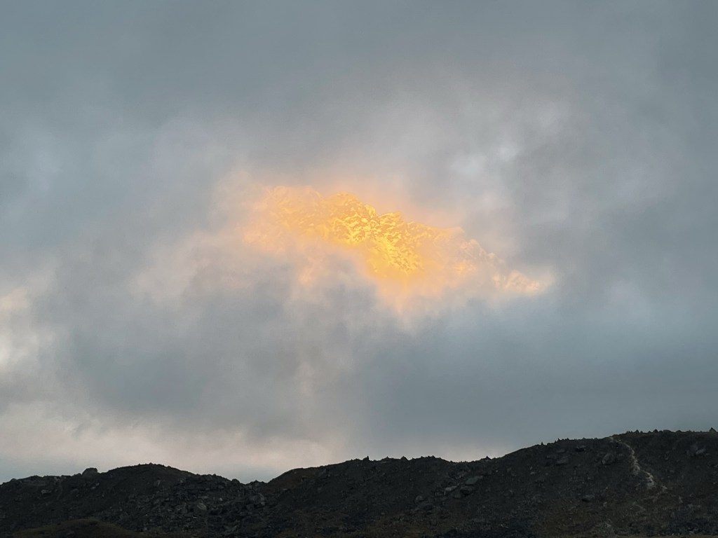
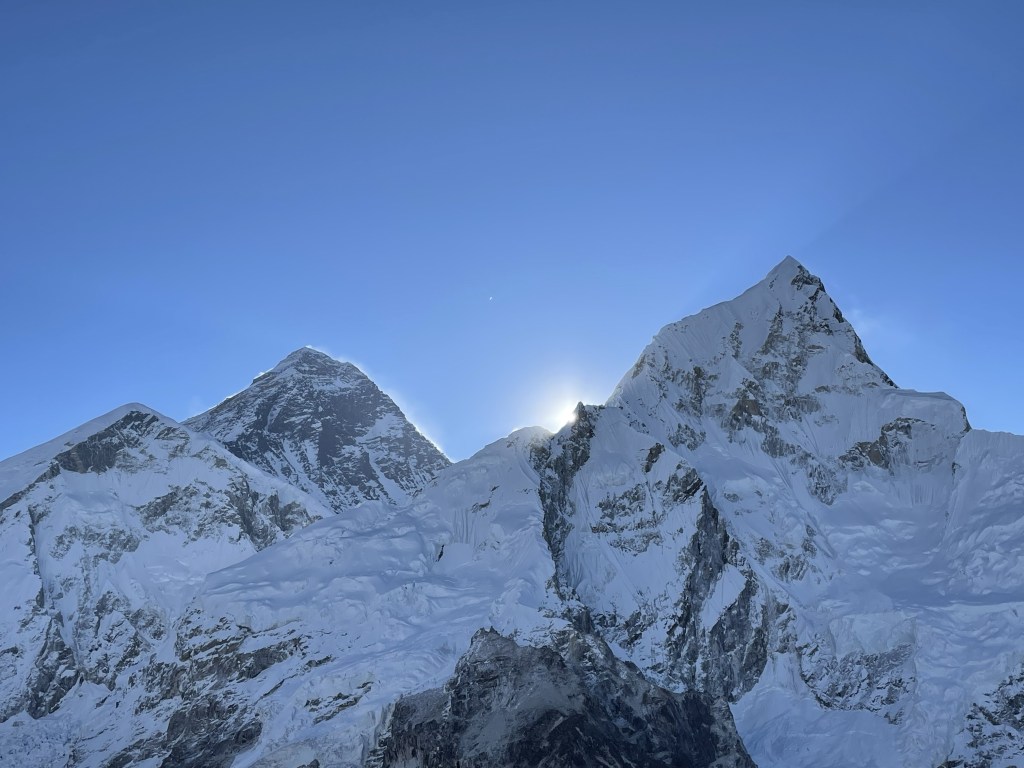
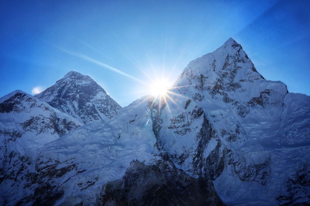
And, okay, it was really cool to see those first beams break out from behind Nuptse, while Everest appeared to steam as light bounced off the snow swirling around her summit. I guess that was worth the early hour.
But we didn’t turn around after sunrise. We had made it up about 1,000 of the total 1,500 feet of elevation gain, and the point of Kala Patthar was in view. It fairly prickled with the huge throng of people who had managed the 4am start time.
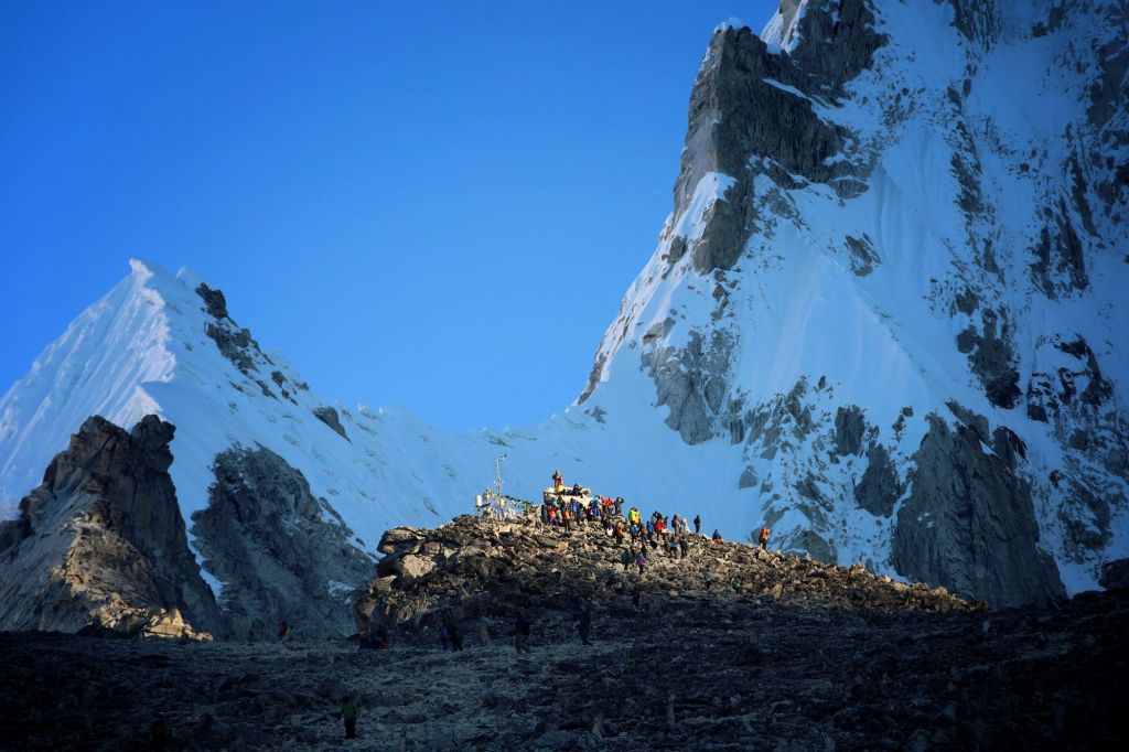
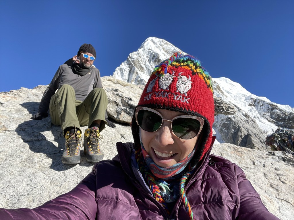
Dustin wanted to make it to the top, so we kept going. On the map we’ve been using, the elevation is listed as 18,220 feet (5,555m). Both our watches and every map we’ve consulted since say it’s at 18,530 feet, which is a heckin’ lot higher. The last 200 feet were a doozie.
- Starting location: Gorak Shep, 5,164m (16,938 feet)
- Ending location: Kala Patthar, 5,649m (18,530 feet)
- Elevation gain: 485m (1,592 feet)
- Distance traveled: 1.1 miles in 2:07’ minutes of “active” time
- Slowest mile: 2:03’
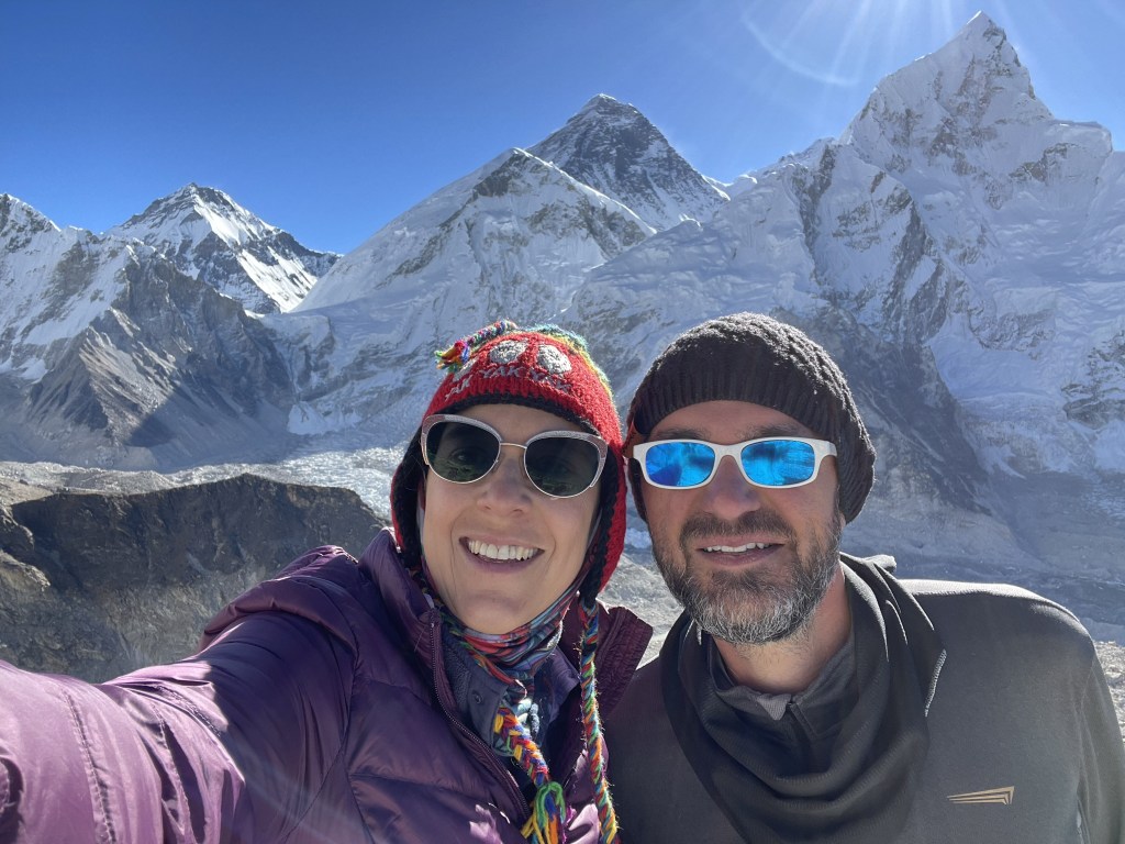
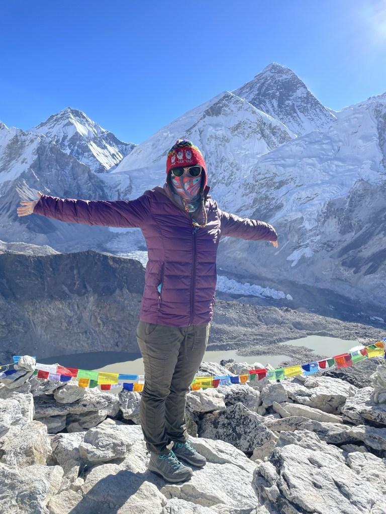
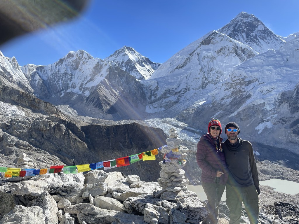
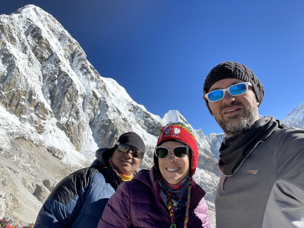
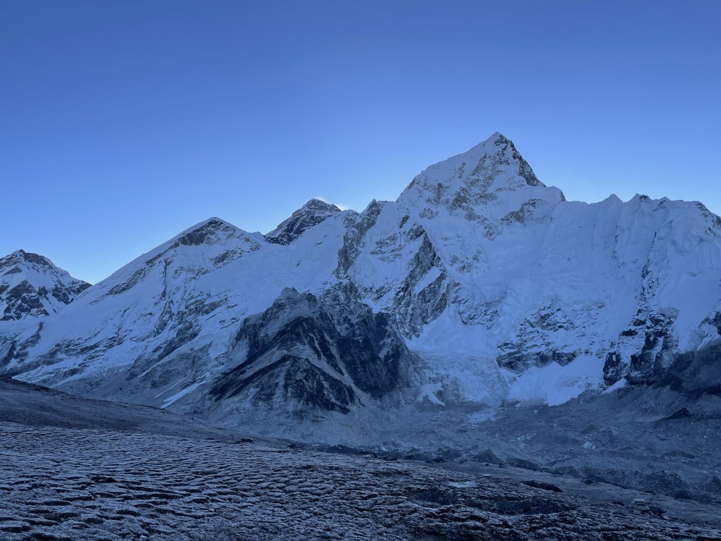
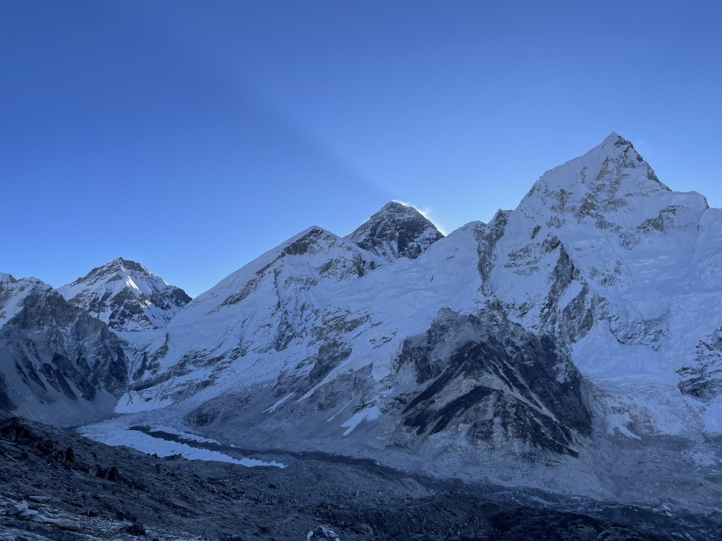
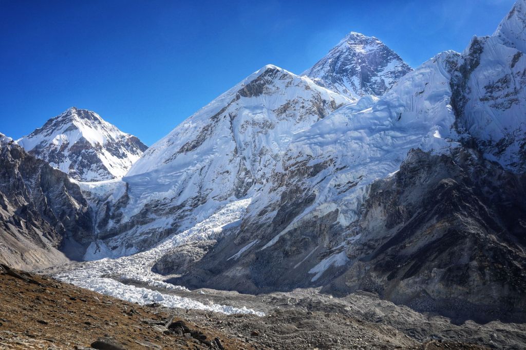
The views were as spectacular as advertised. Little Nuptse (only 7,861m/25,784f) loomed large and impressive in the foreground, showing off by letting loose a couple small avalanches for our admiration. Everest rose dark and imposing behind, her 8,848 meters (29,029 feet) in no way diminished by her greater distance. Between them, the smallest sliver of Lhotse’s peak (8,414m/27,698f) peeked out.
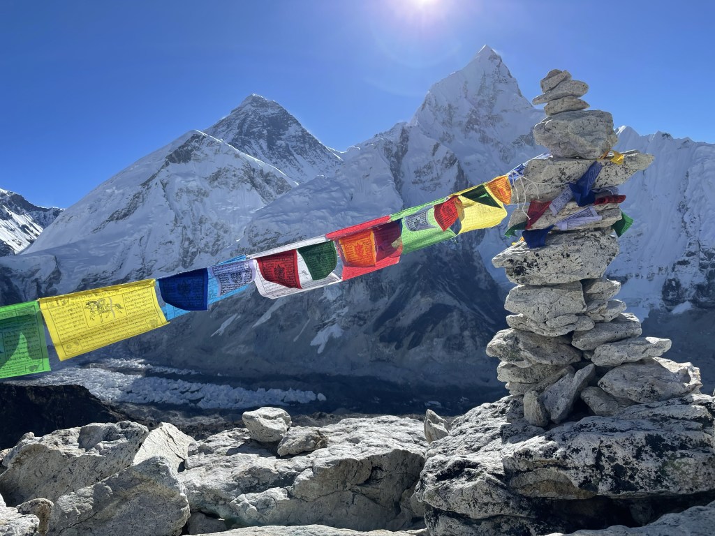
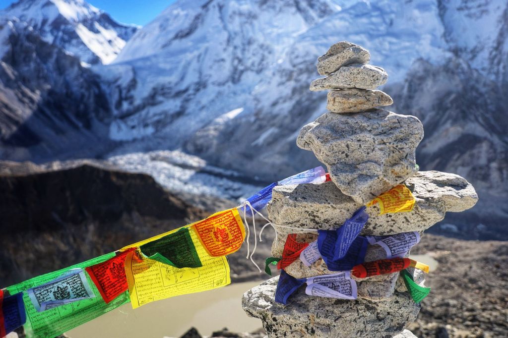
As a bonus, the Khumbu Ice Fall I had coveted and mostly missed yesterday was visible from this angle in a much more pleasing way than it had from Base Camp, looking every bit as terrifying as I could wish.
The lure of breakfast finally drew us back down the mountainside. This descent was a lot less troublesome than coming off Kongma La had been, perhaps because this time, there were no surprises.
We annoyed the guest house staff by requesting breakfast at 10am (that’s lunchtime in a world where most hikers’ days start at 4 or 5am), but Surya was persuasive on our behalf and we were fed.
(The guest house in Gorak Shep was… grim. Surly staff weren’t the half of it. This is the first stop where I honestly might have been happier in a tent. We were not sad to see the back of it.)
Lunch finished, we began the trip back to Lobuche. The up-and-down bits over glacial boulders were rather rough after our big morning up and down, but then we got to the bottom of Lobuche Pass and the path evened out and the rocks disappeared and we managed two miles in less than an hour and suddenly all the life choices that led up to now didn’t seem so bad after all.
- Starting location: Kala Patthar, 5,649m (18,530 feet)
- Ending location: Lobuche, 4,910m (16,109 feet)
- Elevation lost: 739m (2,421 feet)
- Distance traveled: 4.8 miles in 2:45’03” of active time
- Average pace: 34’22” per mile
- Slowest mile: 42’46”
- Oxygen: 85/86
Tomorrow, we have our first easy day for what feels like ages, just a short little 3- or 4-hour hike over to Dzongla, which will be the jumping off point for our second pass the day after.
We will be washing socks.