[To see the original journal entries recorded during this leg of our adventure, click here! But this post has all the photos.]
![A sign, made of particle board and black marker, is nailed to the trunk of a tree that fills the frame. It says:
I hope you know you are awesome. 428.6 [the mileage]](https://thither-yon.com/wp-content/uploads/2022/07/pxl_20220713_122654249.jpg?w=644)
“Someone left an entire bag of beef jerky in the Hiker Box!” Hobz said, topping off his cold oatmeal breakfast with a handful of said jerky. “And a bunch of Snickers!”
“Huh,” I said. “Wonder who that could have been?”
Despite the abandoned food, today started out with the terrible news that my pack actually weighs 35 pounds. The hostel had a scale, and the boys couldn’t resist. Dustin’s pack weighs 34 pounds. Hobz’s weighs 24. Somehow, I had really believed my pack should have been lighter, despite having done the math. Perhaps I imagined that beef jerky was much more calorie-dense than advertised?
(The real question, of course, is how much did it weigh yesterday??)
No matter! Somehow, my limbs woke up more structurally sound today than they had been yesterday, and that seemed like a good omen.
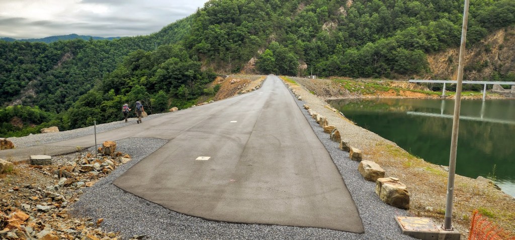
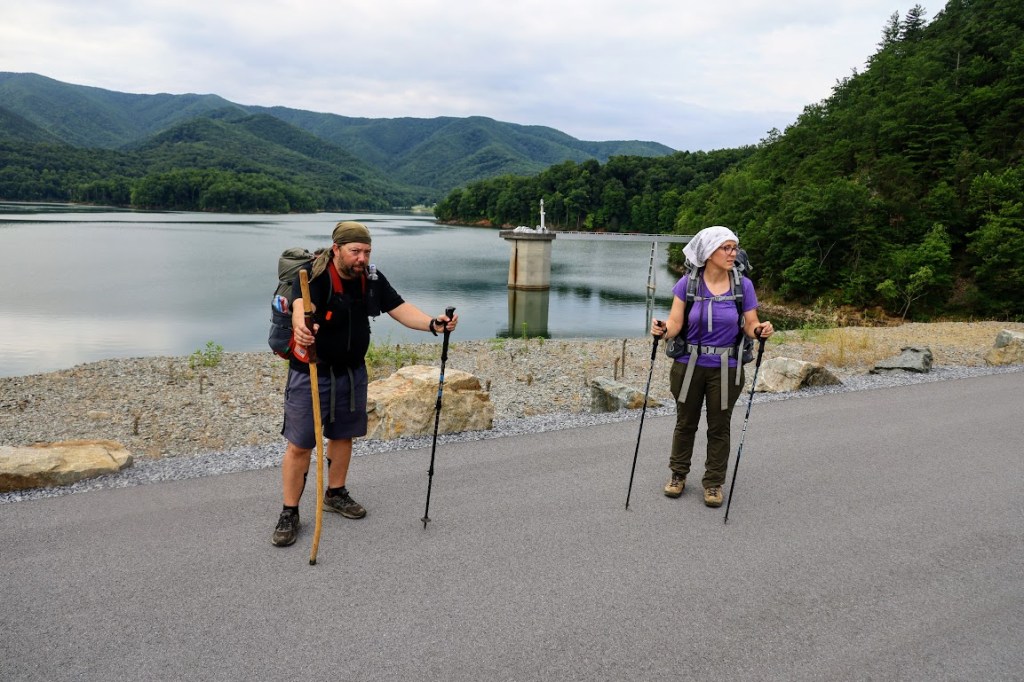
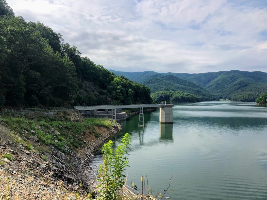
As if rewarding my good attitude, we got to start the day with a relatively level three-mile hike around the edge of the Watauga Reservoir, bringing us up to its dam. Three miles seemed right for a break, and our water bottles wanted topping-up, so we ditched the packs and had a snack.
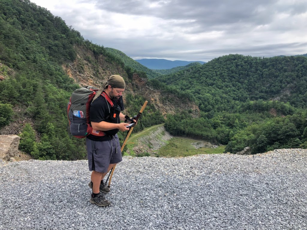
Hobz checked our trail map for the day and discovered that sources of water were about to become unreliable. With no guaranteed spots to refill for the remaining 10 miles of our hike, we decided it was reservoir water or bust.
Guarding my available energy resources, I decided to let the boys do the water-schlepping work without my “help.”
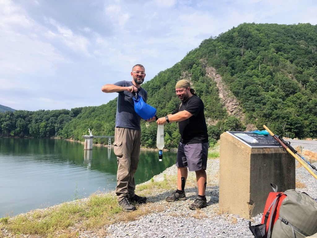
By the time we finished reloading, each of us carried about four liters of water, which would be enough to hike us another 10 miles, but might make for slim pickings at the dinner table if no water was available at our campsite.
Onward!

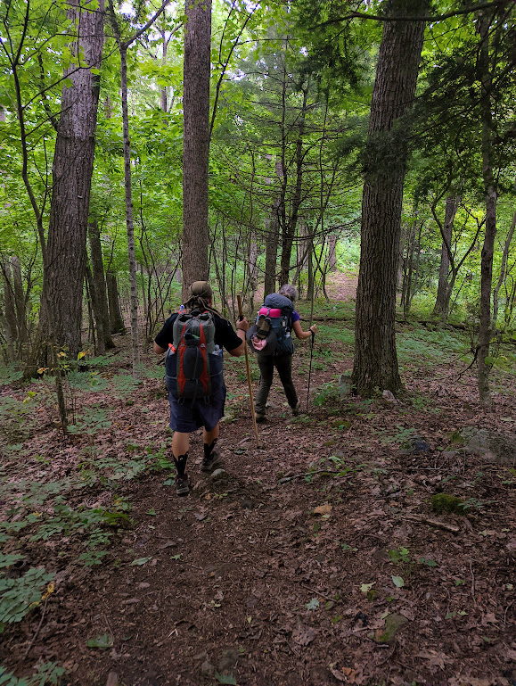
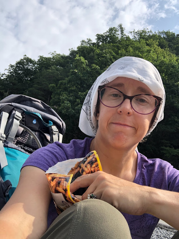
We stopped for lunch when my watch called 7 miles (again) and this time the trail map agreed at least mostly. We pulled off at an “overlook” (nice rocks to sit on, but the view was mostly trees) and pulled out our picnic. Dustin and Hobz eat tuna on tortillas for lunch. I’ve got crackers, cheese, peanut butter, olives, jerky, fruit leather, and candy of every sort. It will get a little old by the last day, but here on Day 2, it was still a delicious feast.
At about 3:00, with about 8.5 “miles” (per my unreliable watch) behind us, we could no longer pretend the “tick tick tick” of leaves around us was just wind. Rain was definitely in the making.
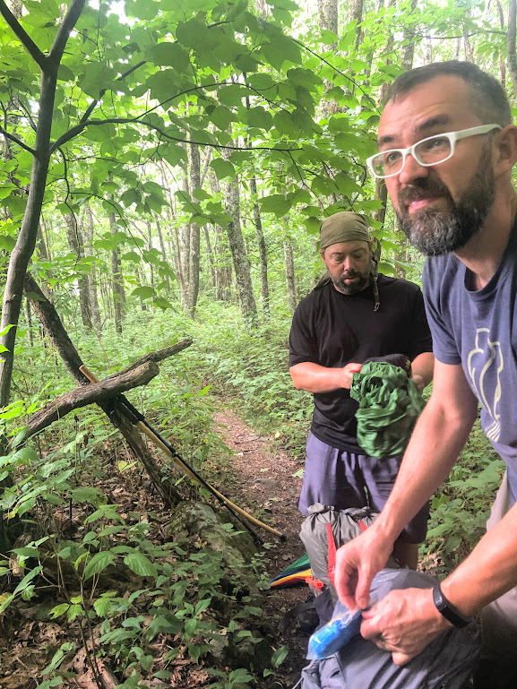
No longer a trail pirate, I now present to you Hobz the Water Witch.
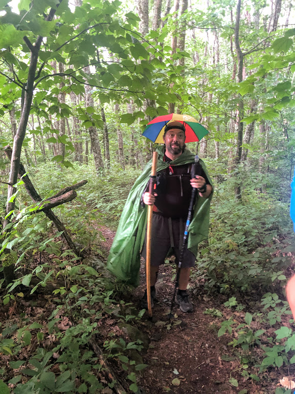
As expected, once we made the effort to get out our gear, the rain quickly petered out. Out west, you’d just leave your poncho on for awhile to be sure the rain had really finished. Out here, in the nasty, musty humidity, if you try that you will self-steam in a matter of minutes. So we took the ponchos off.
And then the real rain started. At least we’d kept the ponchos handy.

If we hadn’t been doused for four solid hours in the Smokies two days ago, I would have been unable to believe this rain. It came down and down and down. My pants legs soaked through, and soon my toes were swimming.
“And yet we keep avoiding puddles,” Hobz observed from behind me. He was right. The instinct to avoid getting my sopping wet toes any wetter remained strong today. I believe that instinct can survive about 90 minutes of rain.
We tromped steadily onward, remembering the 9-mile shelter Hobz’s trail map had promised when we’d considered backup plans the day before. I just wanted a chance to wring the water out of my pants before my underwear got wet again.
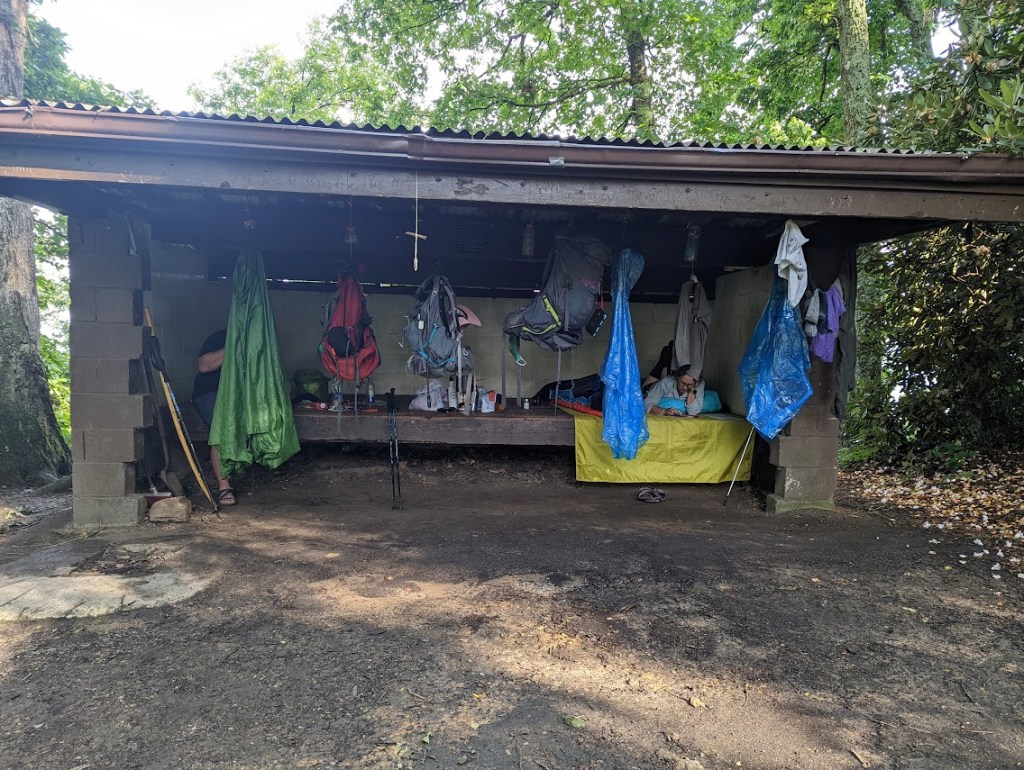
Vandeventer Shelter appeared like a (and along side a) ray of sunshine on a stormy day. In fact, the rain had mostly broken up ten minutes or so before we arrived, though in a manner so untrustworthy all three of us elected to steam in our plastic wrappers rather than risk removal again.
Negotiations on whether to stay here or move on to a tent site four miles farther up the road resolved quickly. Hobz’s shelter is that green poncho he’s been wearing, propped up by a stick. The ground at a tent site would be wet, and if it rained again, he’d be one soggy, sad, pirate-witch-hiker.
Yeah… That’s right… We quit four miles early in deference to Hobz’s sensitivities. Nothing to do with pansy me.
Bless the hooks.
Really, though, I was feeling pretty good. I think I could have managed those last four miles with considerably more grace than I’d had available yesterday. I wasn’t complaining about stopping early, obviously, but I felt relief deep in my soul that I wasn’t going to be as bad at this long hike as yesterday’s feeble effort had foreshadowed.
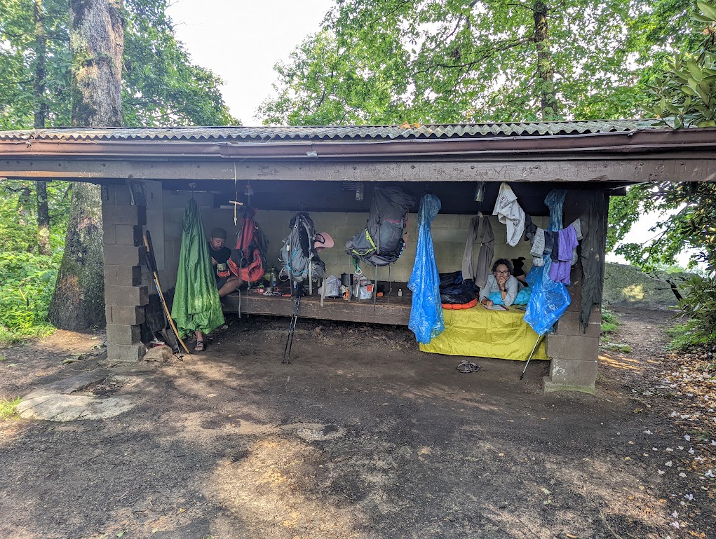
We settled in, hogging all the hooks and surfaces in the shelter. Since we’d seen no one else in a backpack hiking the trail during the last two days, we figured there was a reasonable chance we’d have the whole thing to ourselves, which turned out to be true.
I’d never stayed in a shelter before, and the whole concept was new to me.
“Are there rules?” I asked Hobz, imagining how this would have played out if we had arrived to find six people already in residence.
“No pitching your tent inside the shelter,” he said. “That’s about it.” Stories he told us over the next few days would help me understand that, if we had turned up to find the shelter already full, we would have just asked everyone to scoot over and wedged ourselves in, sad little sardines on a wooden shelf. You get real cozy with strangers on the Appalachian Trail.
“I’d pitch my tent instead,” Dustin said in those later conversations.
“If there were too many people?” Hobz asked.
“If there were any people,” Dustin said. Given the rain-proof awesomeness of our tent, I’m with him.
These items negotiated, we set about dealing with the overabundance of water in our clothing and underabundance in our bottles.
“Hobz? You okay pretending I’m wearing a swimming suit?” I asked, already peeling off my pants. I’d only brought one pair, forsaking the longjohns I would usually have brought for sleeping in when I saw the temperatures in this week’s forecast. I wasn’t really worried about Hobz’s delicate sensibilities, but I didn’t want his wife banning him from ever coming out hiking with us again because of a smelly-girl backcountry strip tease.
“There’s not much modesty on the trail,” Hobz noted, “but I have an extra pair of shorts that are still clean, if you’d like to put something on while your pants dry.”
And that is how I wound up in Hobz’s pants. (Somehow no one got a photo?!)
About two hours later, I remembered I had a pair of RAIN PANTS with me that, having utterly failed to do their proper job, were available to cover my legs right now.
“So the water source is back about half a mile,” Hobz said, consulting his ap, “and my ap suggests we might be better off licking the rainwater off these trees than trying to get down there.”
![A screenshot from Hobz's trail guide. It says:
[left arrow] Piped Spring
off Mile 437.7 of Appalachian Trail
Elevation: 3261 feet
COMMENTS
Trudge '22
Very steep, very far, very buggy. Do everything in your power not to have to get water here. If you must, do yourself a favor, bring all your shit and build a cabin at the bottom. It would be easier than hiking back out. Upside: the flow is good.
[6 likes]
traileagle
I hiked all the way down and got my water. the hike back up was so exhausting that I drank all my water on the way up. I had to turn around and go get more water. this has happened five times. I feel like I'm stuck in Groundhog Day.
[8 likes]
Roosta
I felt like I hiked down to sea level and back
[0 likes]](https://thither-yon.com/wp-content/uploads/2022/07/image-3.png)
“There’s plenty of water still in my pants,” I said. “We could ring that out and filter it.” This suggestion was met with exactly as much comic disgust as I could have hoped for. (But seriously. My pants absorbed SO MUCH WATER.)
In the end, we agreed that as long as we were careful, the water remaining in our bottles would be sufficient to get us the remaining four miles to the tent site we’d originally aimed for, where water should be awaiting us tomorrow.
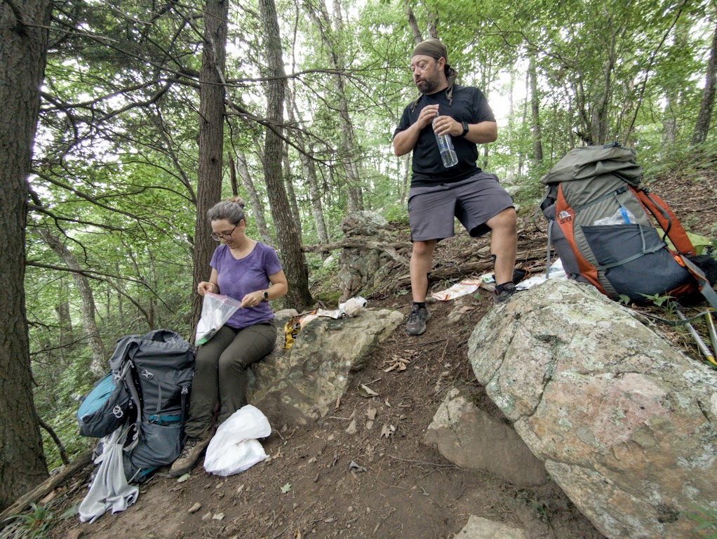
We also hung our water bag from a leaky spot on the shelter’s gutter, just in case it rained overnight.
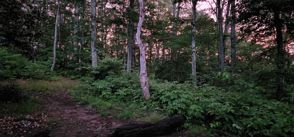
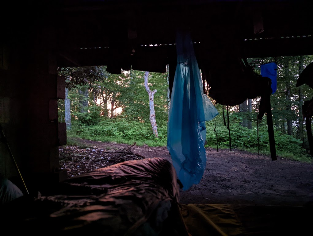
The water bag is the blue thing in the background. Dustin took this photo as the sun was setting. Our gear is dumb and ugly, but the light was really pretty.
We went to bed. I laid there, listening to the creak of the shelter and the “tick tick” of leaves or drops of water occasionally falling on the roof. It was strange and not terribly comfortable. I knew a whole swarm of bugs must be coming for me. Maybe it wasn’t too late to set up the tent after all-
And then the rain started. It was another proper soaker, designed to make us feel really good about being in this shelter and not on a squishy tent site four miles further up. It rained and rained. Dustin squinted at the water bag in the dark, cursed, and got up. It hadn’t been hanging right and wasn’t catching any of the copious water pouring down from the shelter’s roof.

Two pairs of muddy feet and twenty minutes later (Hobz got up to help – I just laid around), everyone was back in their sleeping bags and the bag of water was nearly full. The rain carried on for awhile then left us alone to fall asleep.
I fell promptly asleep, for a pleasant change, and woke up ten hours later to bright daylight. How surprising! Could I have overslept?? I cracked my eyes open and peered at my watch. 12:32am. Dammit. Nasty full moon tricked my brain.
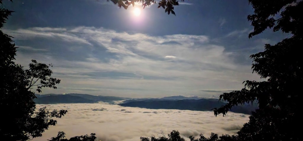
Falling back asleep wasn’t so easy. I passed a fitful night on a wooden shelf in the middle of the mountains.
DAY FOUR STATS:
- Trail Map Says: 9.2 miles (cumulative: 33.7)
- Laura’s Watch Says: 10.59 miles (cumulative: 40.1)
- Cumulative Elevation Gain: 2,864 feet
- Cumulative Elevation Loss: 1,286 feet
- Start Time: 8:15am
- End Time: 3:37pm
- Active Hiking Time: 5:26
- Average Pace: 30’30″/mile (best: 24’09″/mile, worst: 36’14”)
- Average Heart Rate: 128bpm (high: 154bpm)
- Calories Burned: 2,979
What I like about this is how my watch gives me LESS credit for the 9.2 miles today (10.59 miles) than it gave me for the 8.4 miles yesterday (10.72 miles). Obviously I was moving better today, and that makes a difference to my watch.
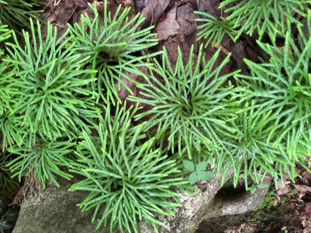
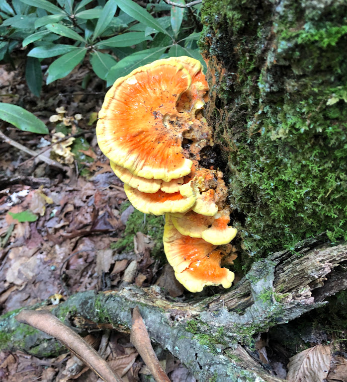
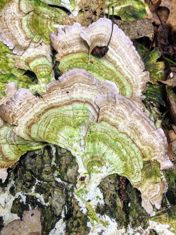
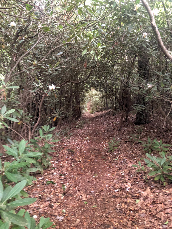
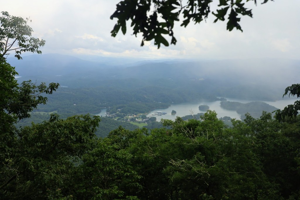
And now, today’s trail photo-candy. Fewer critters today, more plants:
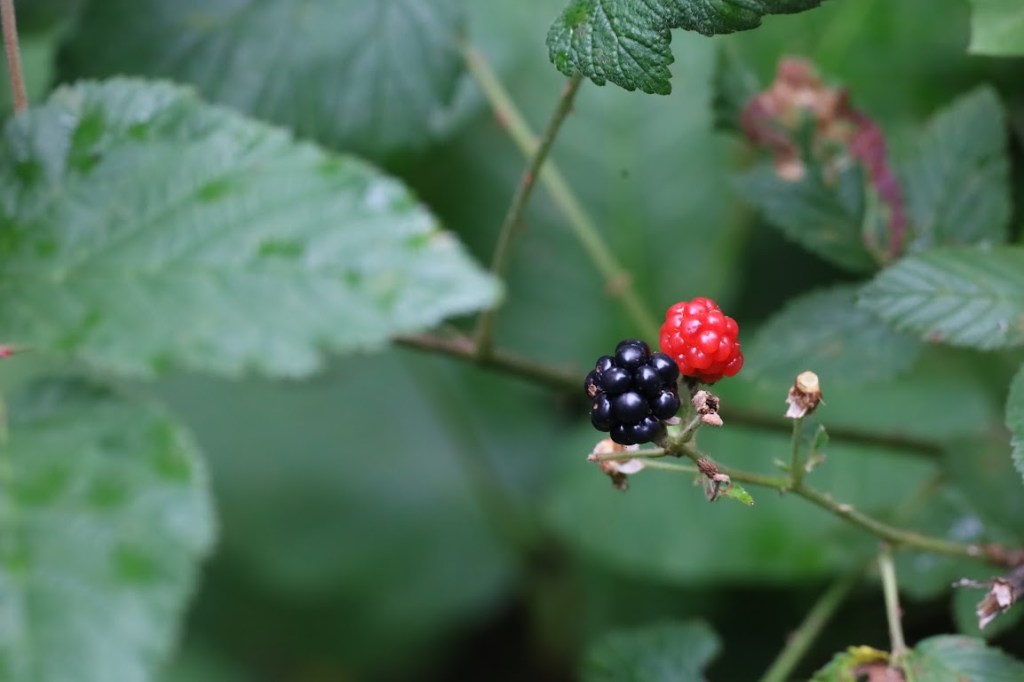
Forest candy, either way.