[To see the original journal entries recorded during this leg of our adventure, click here! But this post has all the photos.]
“Great news, campers!” our delightful and perky Le Conte Lodge host announced at breakfast in the morning. “It’s been raining for the last 15 days,” [I KNEW IT] “but I’m happy to report that today there is NO rain in the forecast for today!!”
This announcement was met with cheers throughout the dining room. I cannot believe anyone else got as wet as we got yesterday, but there’s only one way to get to the Le Conte Lodge, and unless they’d hiked in the early morning hours, everyone else here had been subjected to the same rain that we had.
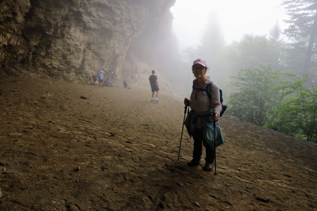
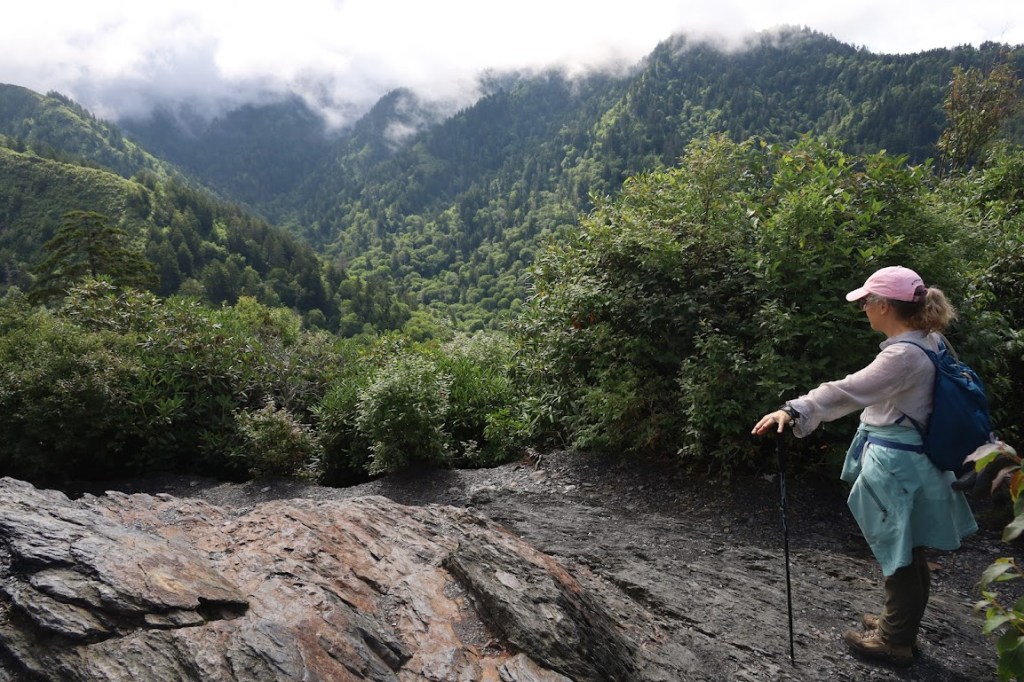
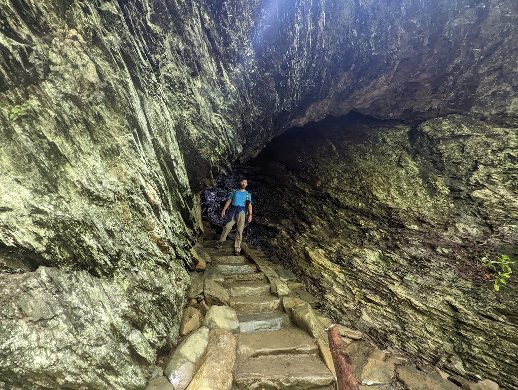
We had to eat fast and scram. A tight afternoon deadline would require us to get to the bottom of the trail as fast as possible, a hiking strategy completely contradictory to my usual MO. On the other hand, despite a forecast for a clear day, the clouds and fog still hadn’t parted, so while the Alum Cave Bluffs trail was gorgeous, there were no views.
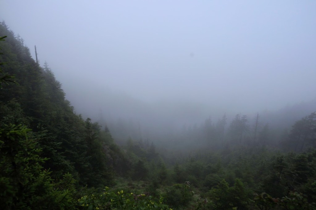
And then, suddenly, there was a …. ray of light?!
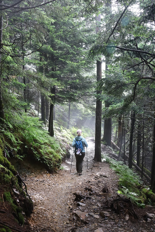
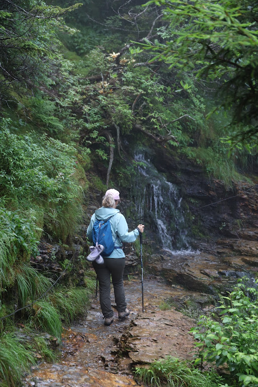
The hike down the Alum Cave Bluffs Trail is only 5.5 miles, which is why it was destined to be our way down, rather than our way up. And it was a WHOLE lotta down that we were trying to do at a faster-than-usual pace.
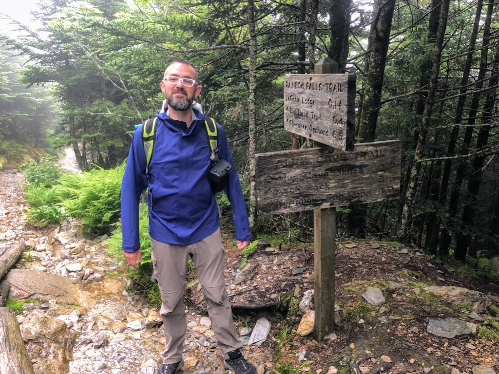
![Dustin stands to the left of a sign that reads:
ALUM CAVE TRAIL
Arch P__k [obscured]
Alum Cave Bluffs 2.3
Mt. LeConte 5.0
Dustins hands are clasped together and raised to the side of his head in a gesture of victory.](https://thither-yon.com/wp-content/uploads/2022/07/img_4588.jpg?w=1024)
By the time we reached our car (which was right where we’d left it, despite the conviction I somehow developed that we would come out at the wrong trailhead, or that it would have mysteriously relocated itself), my knees were crying. They don’t like going downhill anyway, and they certainly don’t like being rushed. I’d stuffed my damaged ankle into the boot without a wrap and laced it up tight this morning, which turned out to be the right move for ankle health-and-safety, but nothing could appease the knees. I tucked them into the car and promised them the rest of the day off.
The three-hour drive to Damascus, Virginia, passed pleasantly. Once in town, we stopped at Food City to pick up our final missing essentials (cheese, banana, beer), then headed over to park at the public library, which is located directly on the Appalachian Trail.
By the time we pulled into our parking spot, we had half an hour to spare before Lone Wolf, a highly recommended shuttle driver with a personal history on the AT spanning more than 16,000 miles, was due to pick us up. It wasn’t enough time.
I spent it making sure I had all my essential gear. I knew I had too much food and reeeeally meant to sort through it, but Lone Wolf was waiting and I didn’t want to be the jerk who caused him to miss dinner. Rather than err on the side of having too little, I just grabbed the entire bag of food. How much too much could it be, anyway??
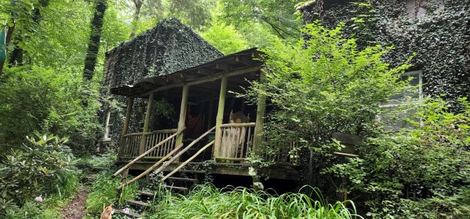
An hour’s drive later, Lone Wolf pulled into a side road off a side road off a very windy side road and abandoned us in front of what we’d been told was the Kincora Hiking Hostel:
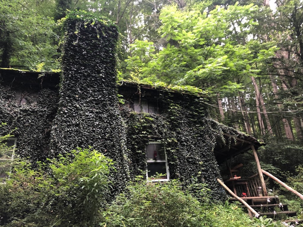
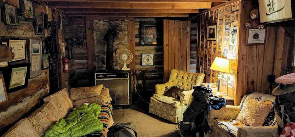
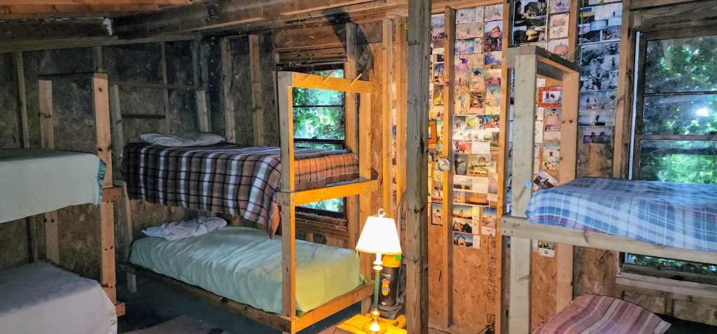
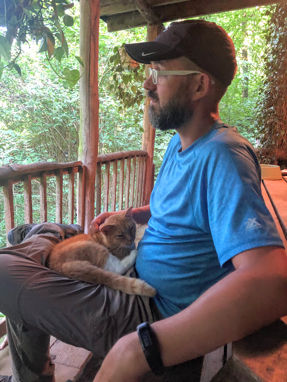
We went hullooing around the property to no effect. A TV was playing inside an open door, but there didn’t appear to be anyone home, and it DID appear to be someone’s home, so we didn’t want to go tromping through looking for someone. A couple random cats came by to say hello, but had nothing very helpful to say about what we should be doing. We eventually noticed a sign that said to “make yourselves at home in the hostel!” so we went exploring.
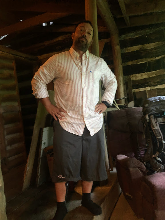
(Photo credit: Hobz)
“When does Hobz get here?” Dustin asked. Kincora was the designated rendezvous spot with our college friend Hobz (both a trail name and his chosen everyday name, too). It was supposed to be a hostel run by a legendary hiker.
“Uh… within the next hour,” I said, consulting my watch. Hobz was already out on the AT, and he would be arriving here at the end of a 16-mile day. I sent him a nervous text message, encouraging him to walk just a little faster because we didn’t know what to do in this rather creepy neck of the Tennessee forest.
And then we parked on the porch with the cats to wait because Lone Wolf was long gone and the cell signal was spotty at best.
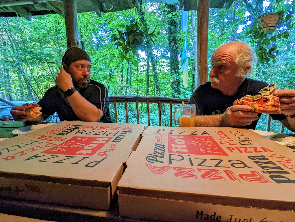
Hobz rolled in exactly on schedule, looking a bit like a trail pirate (I didn’t take a photo, so I can’t back up that statement). At the same moment, Bob Peoples, the legendary proprietor of the hostel, also materialized from wherever he’d been hiding. Cheerful (slightly relieved) greetings were exchanged, and we sat down to work on the two giant pizzas we’d imported from 20 miles up the road.
Bob and Hobz swapped trail stories while we ate, including, to set the mood, the one about the hiker who machete-murdered some other hikers in this neck of the AT a few years ago. Dustin and I just listened, bemused and unable to contribute.

We spent the rest of the evening catching up a bit with Hobz, who we haven’t seen for nearly twenty years, and stepping gingerly around the hostel, where the outdoors has come in a little more than is strictly comfortable. The whole place has the feel of a giant tree-fort set up by kids playing in the woods, full of discarded furniture, cherished knick-knacks, faded photos, and a little mold. I suppose that isn’t far from reality, really.
Tomorrow, the big hiking starts.
DAY TWO STATS:
- Trail Map Says: 5.5 miles (cumulative: 16.1)
- Laura’s Watch Says: 5.79 miles (cumulative: 18.79)
- Cumulative Elevation Gain: ~60 feet
- Elevation Loss: 3,061
- Start Time: 8:43am
- End Time: 11:39am
- Active Hiking Time: 2:56
- Average Pace: 30’27”
- Average Heart Rate: 104bpm
- Calories Burned: 2,124
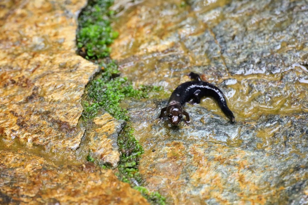
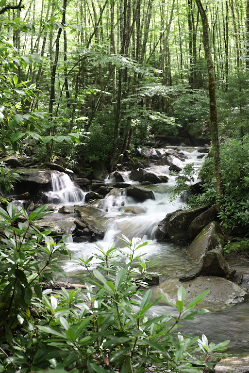
And now, a few random pieces of trail photo-candy: