[To see the original journal entries recorded during this leg of our adventure, click here! But this post has all the photos.]
Our Great Appalachian Trail Adventure would officially commence two days from now, but a small twist of very damp fate put us on the trail early, and I figure any days spent hiking in miserable conditions and sleeping in strange places get to count toward the grand tally, so welcome to Day 1.
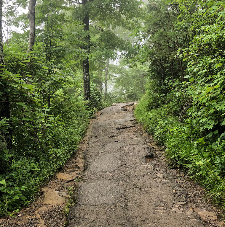
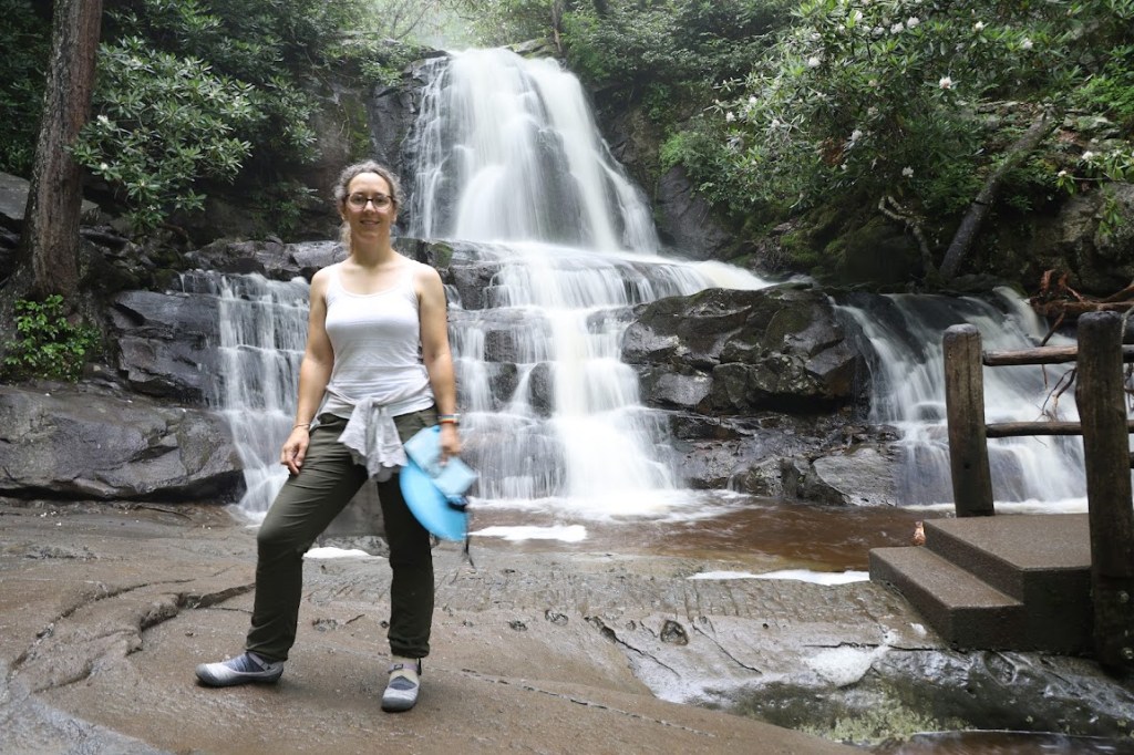
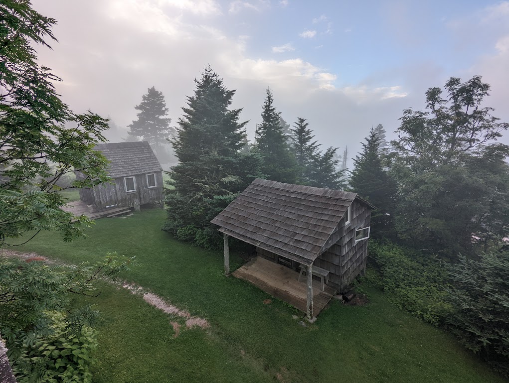
The evening before our adventure began, we stayed at the Elkmont Campground in Great Smoky Mountains National Park, angling to be as close to the Le Conte Lodge trailheads as possible first thing in the morning. On the way to the visitors center to quiz a ranger about the best trail to take, we decided to make a quick side-stop at Laurel Falls.
Doing the 2.6-mile out-and-back hike up to this fiendishly popular waterfall seemed like a good way to warm up my poor, stupid ankle, which I’d heinously bruised the night before by kicking a very large rock. I’d woken up this morning with shooting pains in my leg, and was pretty sure the entire Appalachian Trail adventure was about to go down the tubes, but I wasn’t giving up without trying every tool in my kit.

My ankle held up admirably through this test-hike, so we continued to the Sugarlands Visitors Center where I quizzed a ranger about whether to take the Rainbow Falls trail or Trillium Gap trail on the way up, since we wanted to take the Alum Cave Bluffs trail – by near perfect consensus the best hike in the entire park – on the way down.
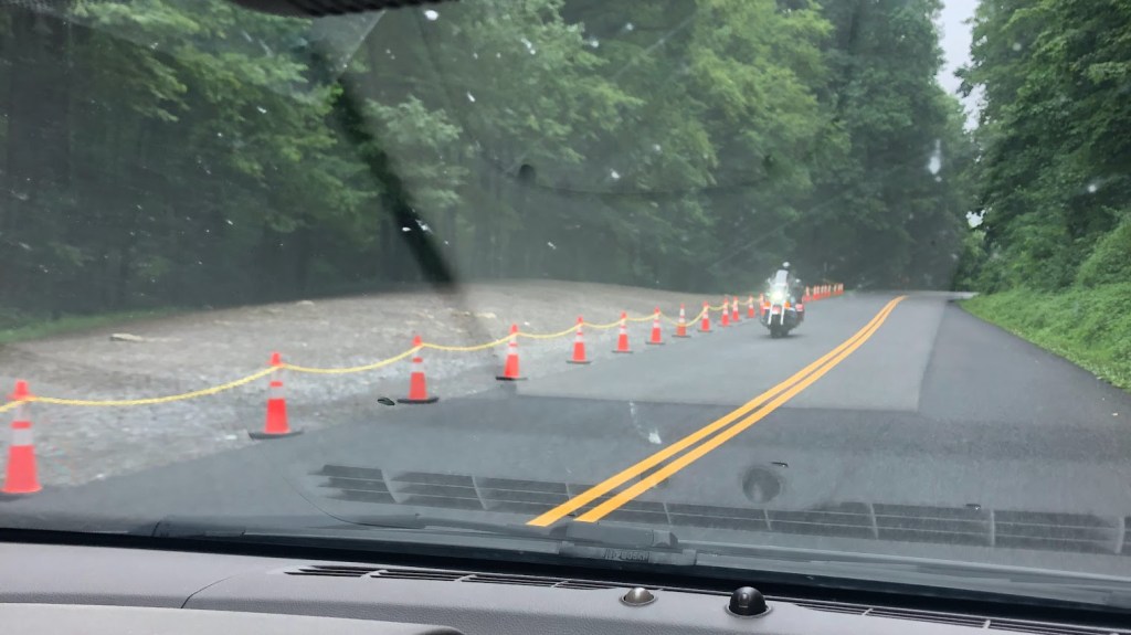
“Have you considered starting on the Appalachian Trail and taking Boulevard across instead?” she asked. The views would be spectacular, and the elevation gain far less soul-crushing. There was nothing not to like about that suggestion, so we headed to the Alum Cave Bluffs trailhead to try our hand at hitchhiking three miles up the hill to Newfound Gap, where we’d hop onto the AT and start our 8-mile hike to Le Conte.
A lovely woman who’d just come down from Le Conte agreed to give us the ride. In order not to hold her up, we packed up rather hastily. (You’re going to start to notice a theme over these next few posts: DO NO SKIMP ON PACKING TIME.) We compared trail notes as we drove up, while the woman’s 9-year-old son (“he told me he’s retiring from hiking after today”) ignored us.
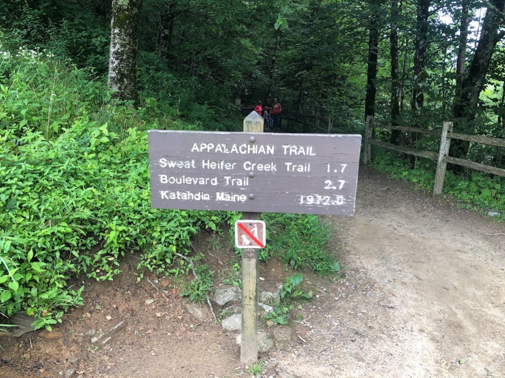
Welcome, then, to the Appalachian Trail!
I’ve developed some larger-than-life ideas about what the Appalachian Trail must look like, based on several books I’ve read about people doing (or attempting) through-hikes. Bill Bryson, Grandma Gatewood, the lady who got so lost while taking a bathroom break that she actually died…
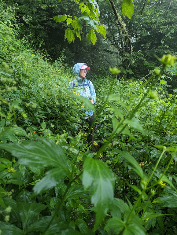
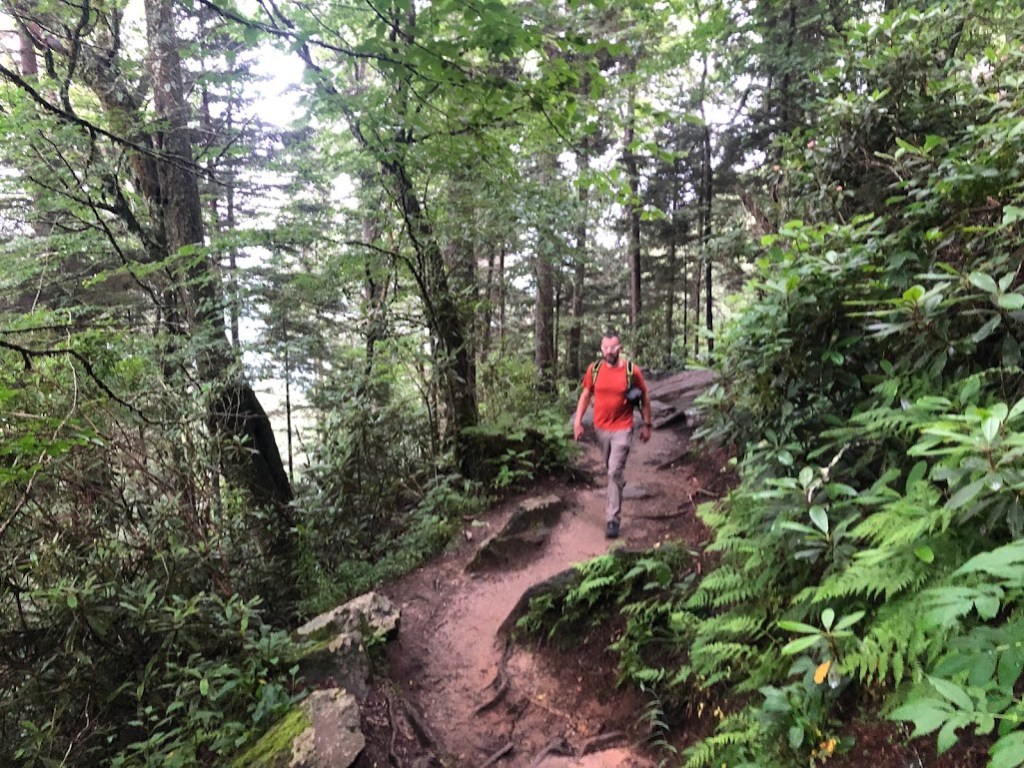
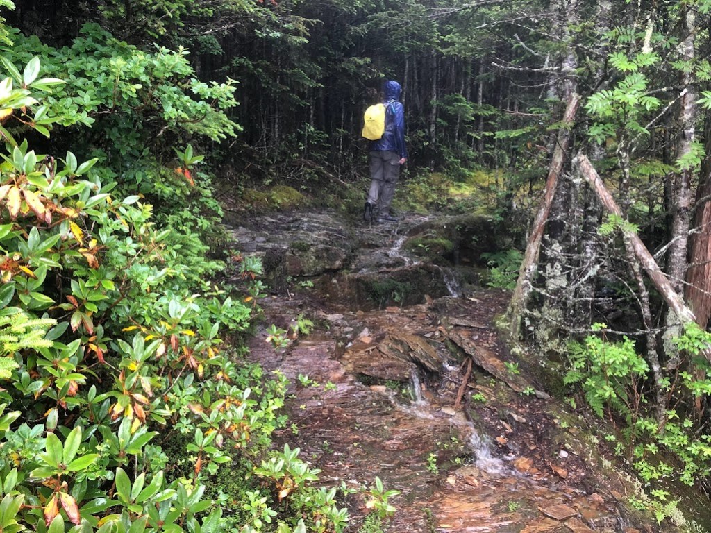
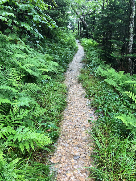
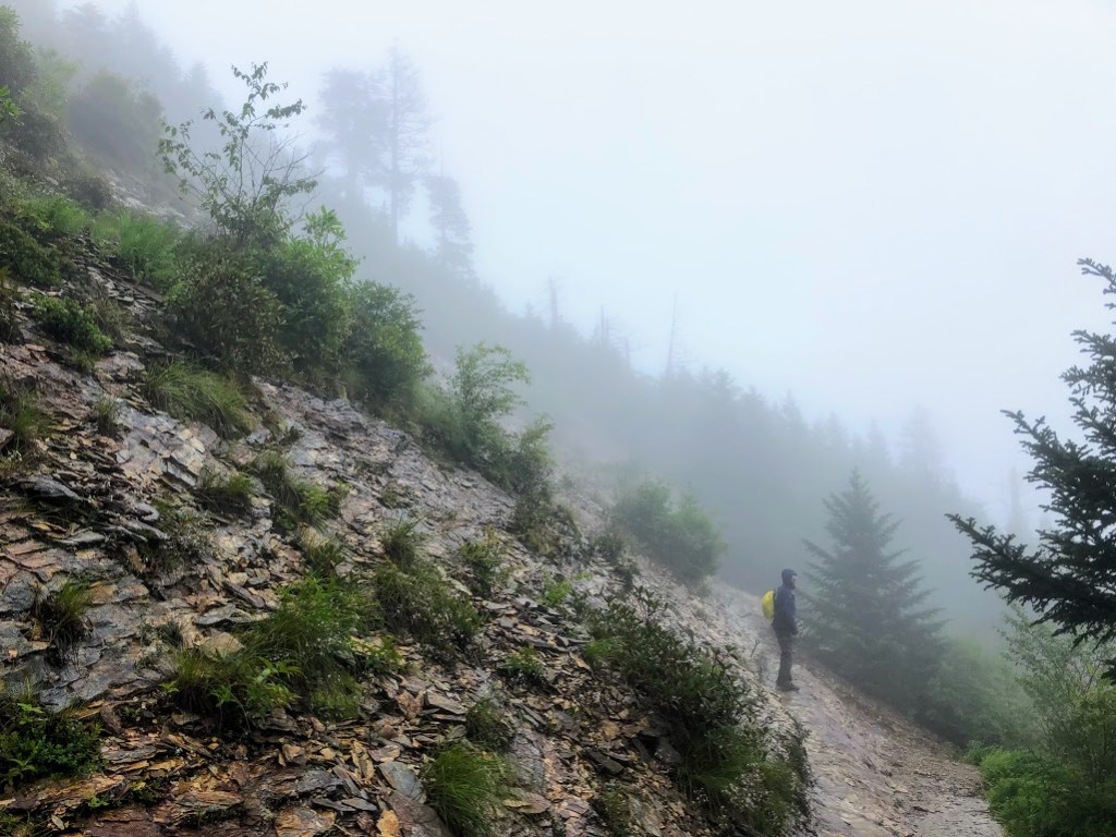
All these books led me to believe the AT is a wide, fairly crowded trail full of scruffy, skinny hikers pressing grimly ahead. In truth, it was a trail just like any other, and no one we passed all day had any kind of crazed, mega-hiker look about them. Just a lot of day hikers, stumbling around on a bit of the AT so we could say we had.
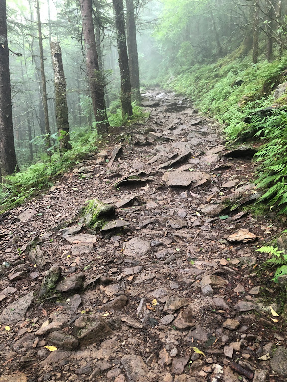
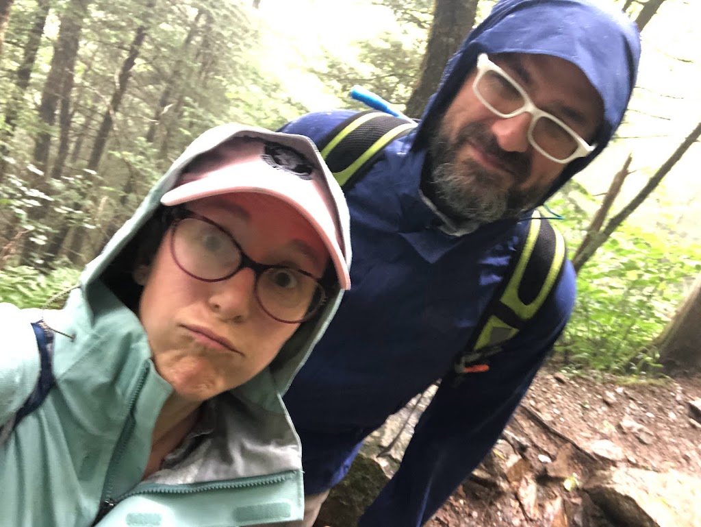
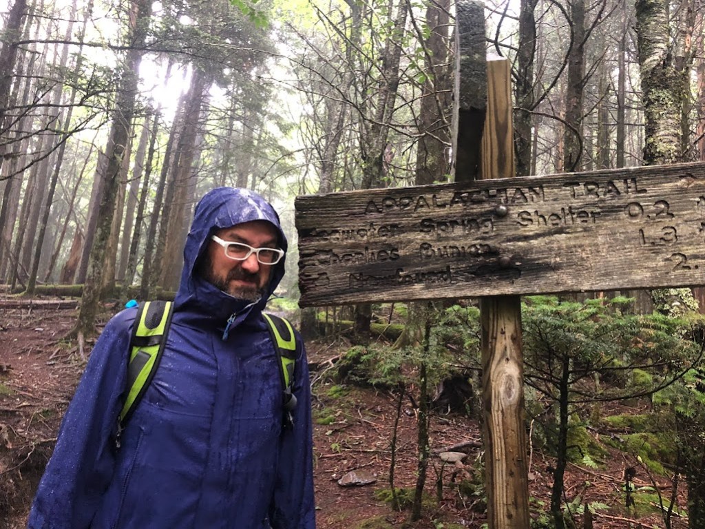
Below are the only two pictures we got on this allegedly 8-mile hike before it started raining.
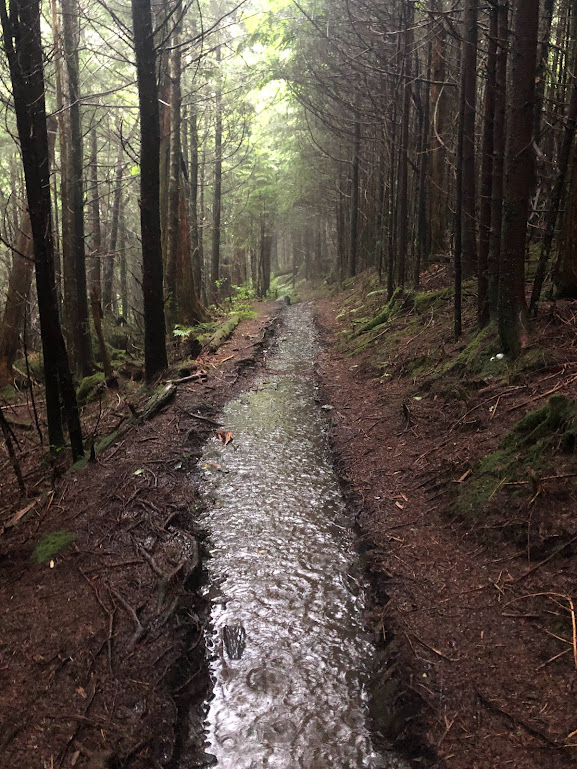
And then it started raining.
I felt a little glum because I’d failed to bring my poncho (hasty packing!!), but I had my actual raincoat, so at least I (if not my pack) should stay dry.
Haha.
Would you like to know how long a raincoat can resist Biblical levels of rainfall? Judging by how long it took my watch – theoretically protected by my raincoat – to decide I was SWIMMING rather than hiking and turn off the hike I was trying to record, the answer is about 40 minutes.
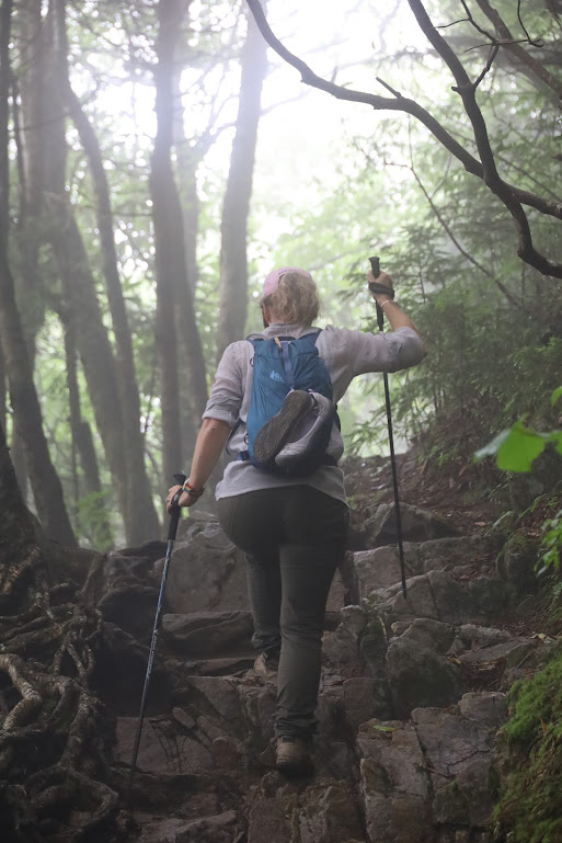
You guys. It NEVER STOPPED RAINING. Time stamps on my photos show that we hiked for five hours today, and 4.5 of those hours were in a downpour. Not a little sprinkle, not a friendly rain, but a fricking look-up-at-the-sky-and-drown kind of downpour. It does not DO this in the west! At home, it rains a bit and stops and then you dry out. All I could think, as the water soaked into my underwear, was that I was never going to be dry again and it wasn’t even going to be a good story, because the whole story was just, “We got wet.”
Meanwhile, my sore ankle was flopping around in an unlaced boot as I leaned on my walking sticks like a 90-year-old invalid. I could feel things in my body starting to ache which should have been holding up perfectly fine on this, our FIRST day of hiking.
With my watch locked into water mode and providing no helpful guidance about how far we’d come, we relied on Dustin’s GPS trail map. “Just a mile to go!” he finally said, providing desperately needed encouragement. At this point, we’d come at least 29 of our 8 miles.
“Only half a mile!”
And then, as we rounded the corner on our last tenth of a mile…
![Dustin stands to the right of a sign that reads:
THE BOULEVARD TRAIL
Le Conte Lodge 0.7 [right arrow]
[left arrow] Appalachian Trail 4.6
[left arrow] Newfound Gap 7.3
Rain is pouring down so heavily it appears in the photo as vertical white stripes. Dustin is soaked.](https://thither-yon.com/wp-content/uploads/2022/07/img_4552-2.jpg?w=1024)
Also, I cannot overstate how hard it was raining.
Damned GPS trail map.
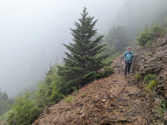
That last .7 miles was tough. I had been convinced that the rain would let up just as we were arriving, but it didn’t. It never stopped raining. A week later as I’m writing this, I fully believe it’s still raining there.
![Laura stands beside a sign that says "WATER [right arrow]" Laura is pointing in two other directions at all the rain coming down.](https://thither-yon.com/wp-content/uploads/2022/07/pxl_20220710_204438337.jpg?w=1021)
I’m helpfully providing additional guidance to water.
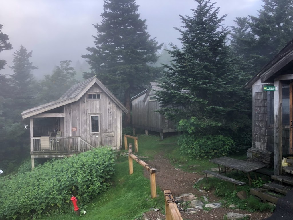
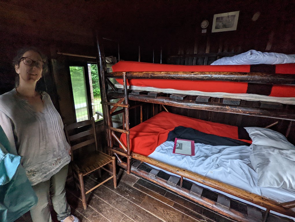
We arrived at the lodge and squelched into the office to check in. The host accepted Dustin’s soggy cash to pay for a bottomless glass of wine with dinner, and showed us to our cabin, which was blessedly equipped with a propane heater and drying rack.
We promptly stripped off every piece of clothing we were wearing, wrung five or six cups of water out into the trash can, then hung them up to dry. I then pulled my even-wetter backup outfit out of my backpack, poured about two inches of water out of the bottom of the backpack, and decided to go to dinner wrapped in a bedsheet.
Just kidding (but barely). Our clothes had about 45 minutes to dry before dinner, which did not exactly get them dry, but at least noticeably reduced the volume of water they held.
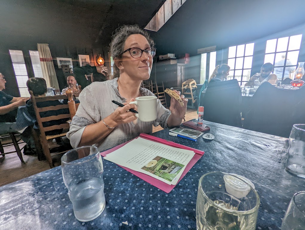
By an absolute miracle of foresight, my journal pages were the only items in my possession to escape the rain unscathed. (That pink thing under the pages is the back of a plastic sleeve I’d tucked them into with rain of a much-less-dire degree in mind.) I spent a few minutes after our hearty dinner scribbling notes to try and keep up with all the excitement.
After dinner we saw blue sky! Just enough blue sky that we started feeling optimistic that a sunset might push through. Despite having hiked 63 miles today, we decided to brave the half-mile hike up to the sunset viewing spot where –
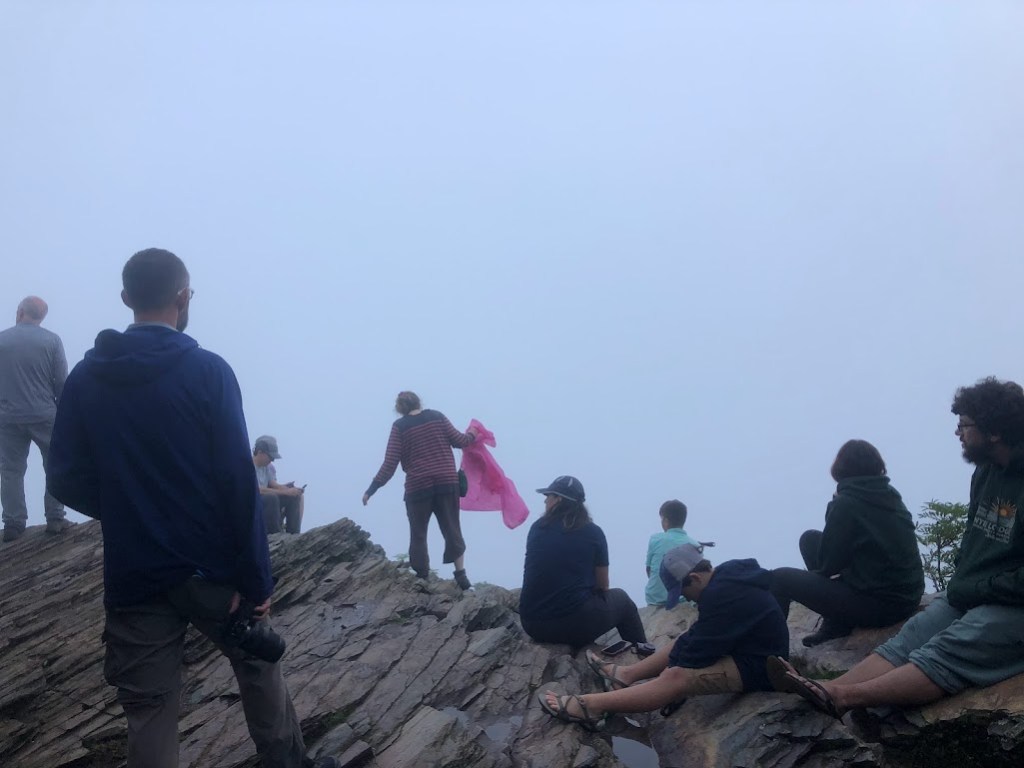
Well, where there were a lot of people.
We headed back down the hill without waiting for it to get dark, the better to carefully watch our step along the steep and still cascading path. Getting back out of our wet clothes and into a dry bed was a treat nearly worth all the pain and suffering of the climb up.
And on reflection, of course, the hike today had been very, very beautiful. Even without the classic Smoky Mountain views, we’d certainly gotten a good taste of what the Smokies had to offer.
DAY ONE STATS:
- Trail Map Says: 10.6 miles
- Laura’s Watch Says: “You went for a swim!” (Probably 13 miles)
- Cumulative Elevation Gain: ~2,080 feet
- Elevation Loss: ~600
- Start Time: 11:48am
- End Time: 4:46pm
- Active Hiking Time: 4:58
- Average Pace: 37’30”
- Average Heart Rate: “Can’t track because you’re SWIMMING!”
- Calories Burned: ~3,000
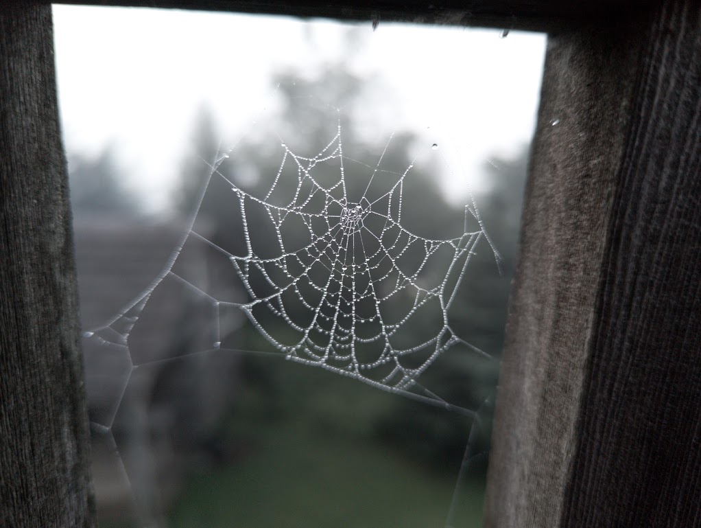
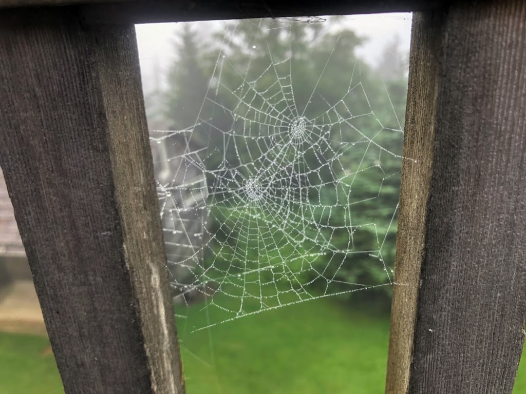
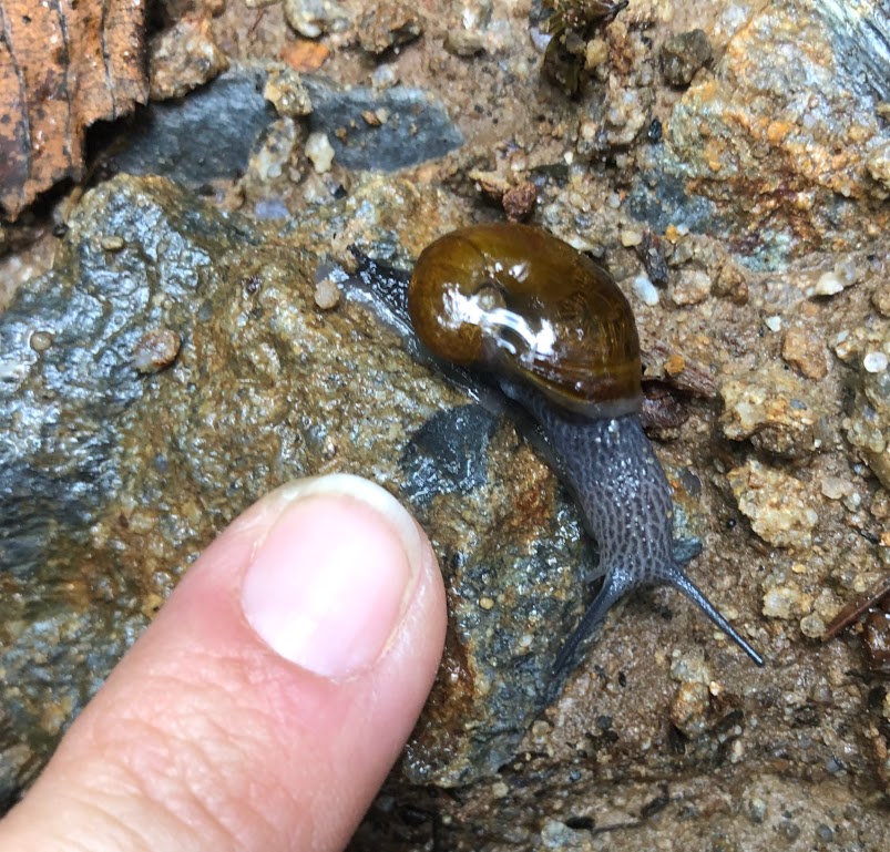
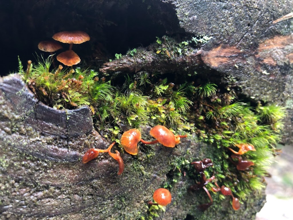
And now, please enjoy a few pictures of interesting things that don’t have a place in the story.